Welcome!

Welcome and thanks for stopping by.
My reference links will open in a new tab.

If you have any corrections, suggestions, comments please use the Comments at the end of the post.
I do respond to all comments. - Thanks!
Showing posts with label Loneliest Road in America. Show all posts

August 04, 2022

The Route to Denver … and TWINS

July 28th was a travel day as the family wished each other well and safe travels, after our time in Shasta.  All are now safely home, except us.  We have another 6 weeks, or so.

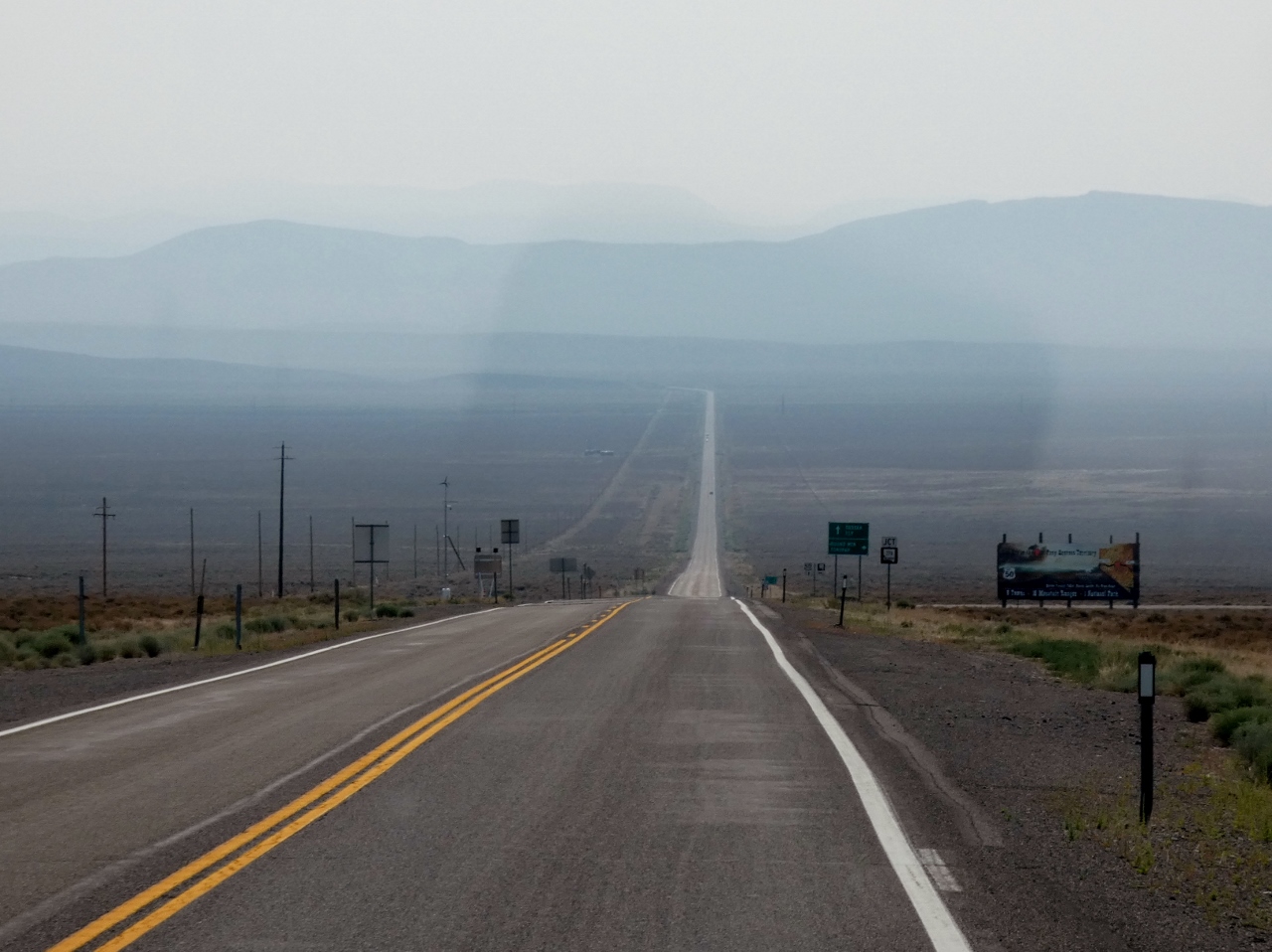
Our next stop is Denver either via I 80 or via US 50.  It was an easy decision to take US 50 … “the Loneliest Road in America” ... again!

We stopped in Alturas for diesel and a good thing as the next diesel was in Fernley 220 miles distant.

We came this route to see the Fly Geyser.

Fly Geyser

The Geyser has always been on private property, which is now in the hands of Friends of Black Rock (aka Burning Man).  One of the Tenants of Burning Man is Immediacy, which was fairly strictly enforced on Fly Ranch, where my camera was returned to the RV.

Silly as one of the artwork pieces was a 40’ Narwhal Whale easily seen from the road ... but no pictures allowed ... They have satellite Internet, but a point and click camera is forbidden ...

I asked if the photos on the web had been enhanced with Photoshop.  Our docent was quite firm that she has not seen any that have been.  The geyser changes colors with the seasons.  It's green and more robust in the spring, more rust in the summer with a lesser flow, more white with steam that cam be seen for miles in the winter.

web photos
No matter the season the water temperature is 175F.  There is no sulfur content, hence no unpleasant smell.

Gerlach was in full crunch mode with 80,000 guests coming for Burning Man, just a few weeks away.

Elon Musk is a big fan of Burning Man and  is hosting it again this year.  He has donated StarLink devices for use at the event and at Fly Ranch.  He has also provided equipment, including a tractor, to help it become self sustaining.  There is a lot of info on the web if you want to do your own Google search.  

There’s a lot of info available on Nevada US 50.  We did it last year in 4 days.  That blog is HERE

We zipped all the way to Cold Springs Station RV Park <website is not secure>.  Sorry the pictures did not turn out.  The camera settings were totally messed up … one too many drops.   There are a dozen FHU sites for rigs of any size, a restaurant with a full service bar and good WiFi.  The WiFi is not secured, but I use Norton’s Secure VPN.

We stopped at the Hickison Petroglyph Site a great spot for a leg stretch.

There is a campground with a host there. But alas no trail brochure for the interpretive trail.


The trail passes unusual rock formations with some very faint glyphs

.

Then climbs to a viewpoint

The trail forms a loop as it returns to the parking lot where there is a special set of glyphs on a large rock.


.

Our next stop was Green River UT for fuel and melons.  We’ve had great luck with the Vetere Melons and have not used another vendor.

They are honest and expect the customer to be so too

in addition to the Honeydew and Cantaloupe, we always get their watermelon.  We added a ‘black watermelon’ as the the staff said it was best suited to survive the trip to Ohio.

We stopped in Grand Junction for the night at a newer RV park.  Canyon View RV Resort

The gravel sites are large, each with a concrete patio and picnic table.  Some even with a private dog enclosure.

our site backed up to I-70, but with the wall freeway noise was not a problem.

Free Pickleball lessons are offered twice a week.  Fran was the first to signup!

After some basics and drills it was time to play.

One thing we learned was how to know which side serves first.  The game was first played on Bainbridge Island near Seattle, hence the side closest to Seattle serves first.

This is a 5 star place, for instance the showers are your own private bath room.

Oh yeah, it is totally Fran approved!

If we had not stopped for the Fly Geyser we could have been in Palisade for the Sunday morning farmers market.  

But it was a good one-n-done stop.  Not to worry the Palisade west slope peaches are readily available.


As was the Olathe Sweet Corn.

Our last stop was again at FS Heaton Bay Campground.  I lucked into a nice site in an Aspen Cathedral.

No hookups, but a strong cell signal.  A local humming bird checked on us.  Totally Jeff approved.

We pass the Littleton Golf/Tennis Club on the way to Chatfield State Park.

A nice stop for Fran to hit a bucket of balls.

.

We’ll be at Chatfield State Park for a few days, as we need to do some laundry and meet those twins!  If Chatfield is in your overnight plans, be prepared that very few sites offer shade.

TWINS

We've met Lucca a few times before.  We brought her a couple books and a dozen socks.  She so loved the socks!


Is that 'Double the trouble', or 'Twice thee fun'?

Fran is getting an idea of a what it might be like for a busy mom.

Identical twins Robin and Rowan

Rowan konks out while I feed Robin

What a great pleasure to hold and feed them.  They did not fuss in the least.  After feeding Robin fell asleep, with a soft snore like a kitten purring.

We are now making good time to Ohio.  With an engine check light indicating EGR error.  UGH!

July 30, 2021

Road Trip 2021 - America’s Loneliest Road

In July 1986 LIFE Magazine called Nevada’s Highway 50 as the “Loneliest Road in America”.  The article stated that there were no attractions or points of interest along the 287-mile length of road.  It further stated not to take the risk of driving the road without “significant survival skills”.    

Long before there were numbered roads, the Lincoln Highway connected the nation east (New Jersey) and west (California).  Named for the President who connected the nation north and south.

The original route is marked with the concrete posts with the blue L, the emblem and direction.

Since it’s beginning in 1913, the Lincoln Highway has been realigned and numbered by the states it passes through.  In California it is Historic Route 40, in Wyoming US30, but in Nevada it’s known as ‘The Loneliest Road in America”, US50.

I ordered our Survival Guide online HERE.  It certainly helps in laying out the journey.

CARSON CITY

We picked up our first passport stamp at the Carson Museum before meeting the family at Lake Tahoe.


After our time in Nevada City and Grass Valley we returned to Carson City to begin the cross-state journey.

DAYTON

Originally called China Town, the name was changed after the first discovery of gold in Nevada was made here and the town boomed. 

We have stayed at the Dayton RV Park in the past with only a couple other units.  But this time it was full and they do pack them in.  Our last time was in 2014, when a detour on 395 led this way.

We’d stay there again for the location, great internet, clean free showers.  And they provide a passport stamp.

There are quite a few original buildings along what's left of their section of the Lincoln Highway, now named Pike Street.

SILVER SPRINGS

There is no stamp for Silver Springs, but it is worth a mention, as it is on the way.  With 395 closed due to fires, a lot of traffic is being routed through Silver Springs.

The traffic circle entering town has fun pioneer sculptures.

.

FALLON

Fallon is the largest town on the route and home to the Fallon Naval Air Station, where the Top Gun training takes place.  In Fallon we received our third passport stamp at the very awesome Churchill County Museum.

There is a voluntary donation box for entry.  For $5 we found this to be an excellent value.

In addition to the expected early history,


shoes are displayed from the original Shoe Tree.

.

A detailed description and photos of the Lincoln Highway is also on display.

.

GRIMES POINT PETROGLYPHS

The rock art at Grimes Point indicate native Americans were established in this area for 3000 years.


It was a short but hot walk, Fran decided to bring her own shade with her.

SAND MOUNTAIN

The retreating glaciers left crushed quartz behind.  The Walker River distributed the sand, which the winds carried, a grain at a time, to form Sand Mountain. 

As the picture shows we are still in the smoke from the Tamarack and Dixie fires.  Sand Mountain is the large lighter colored hill at the end of the road.  If the wind is blowing the sand sings.  But there was no wind on this hot/smoke filled day.

MIDDLEGATE STATION


From first appearances Middlegate Station looks like it is about to collapse. 

But inside is a functioning bar and restaurant, and home to the Monster Burger.

No, we did not try to even split that massive burger! but enjoyed a cold soda and the thousands of $1 bills pinned to the ceiling.

SHOE TREE

The original Shoe Tree was a victim of vandalism, but a new location 2 mile east of Middle Gate Station provides the current fun.

You can bring a pair of shoes to add, or simply pick up a pair from the ground as we did.

COLD SPRINGS STATION

Cold Springs Station was stop on the Pony Express route.  The ruins of the old station can be found at the end of a 1.5 mile hike.  Too hot to even consider!


Just past the historic site is a ‘new’ Cold Springs Station Resort with an RV park.  In hindsight I'd consider staying here vice in Austin.

AUSTIN

Although born in Nevada City CA, Emma (Wixom) Nevada grew up in Austin NV.  I had my heart set on finding the Opera House where she would have sung.  No luck, on her return from Europe she sang in her childhood church, Austin has no opera house … a world class singer, but nothing to really honor her.


The Austin Museum and their Visitor Center were both closed, but we did collect another passport stamp at the courthouse. 

.

Austin is 110 miles from Fallon in the center of the Nevada on the Loneliest Highway.  Impossible to miss, the only road through town is the Lincoln Highway, Austin’s Main Street.

US50 is more heavily traveled than we expected.  But it is still a lonely road.  Heavy smoke continued in the morning as we moved on.

EUREKA

Eureka Nevada prides itself as “The Friendliest Town on the Loneliest Road” … and it has an opera house!

but it was closed during our visit …  a large number of historic buildings are located along US50.  It also has by far the best walking tour! 

Hands down.

A colorful map with descriptions can be obtained from most any merchant in town.  The points of interest are numbered.  This old caboose is #36.

The white stones are locally quarried tuft.

The original Lincoln Highway through Eureka is well marked.

.

We obtained our fifth passport stamp at the courthouse.


ELY

Ely is a copper mining town and the tailings we saw coming in from the west are massive indications of the strip mining taking place.

We knew the town was noted for its murals.  The murals are numbered, which can be entered into an interactive audio recording. 

.

Pretty well done; call the phone number; enter the mural number and get all the info.

The White Pine County Museum is noted for its Short Faced Cave Bear.

Not much else there…

Ely had very good WiFi, cell and antenna TV.  We were finally able to watch some of the Olympics!

BAKER

Finally some break in the smoke!  A brief overnight thunderstorm helped clear the air making the drive to Baker very pleasant.

We collected our seventh and final passport stamp at Baker Border Inn, before leaving Nevada.

Want to make the drive?  Order the survival guide, the passport stamps provide proof of completion, and are fun to collect.  Also download the audio tour, it’s divided into sections that provide information on the sites along the way.  Research the options at each town and the sites along the way.  Go in the late spring when the fields are green and there is the snow in the mountains.  Although the road is a ‘Defense Highway’ and plowed during the winter,  there are numerous passes where chains might be required in winter.


The biggest surprise – Eureka.
So welcoming to visitors, with a well done walking tour and ample parking.  But it’s not a tourist trap, the century old buildings are the real thing and still in use today.

Most disappointing – Austin.      
like Bodie the entire town of Austin appears to be in arrested decay.

For us this is likely a One-and-Done trip.

Rufus, the RV, will claim the Certificate of Completion.  Fran and I will have to be satisfied with T-Shirts.

We wanted to continue on US50 until Salina, UT where we could pickup I-70 east.

But short of Salina we were detoured by a flash flood.

.

We are now in Arches National Park for a couple days.  Then we will continue our eastward journey.  

Next stop is Palisade CO for western slope peaches and to replenish our wine :)